Advanced GIS, Remote Sensing, & GeoAI Training Center
Study Hacks is an open learning platform dedicated to modern geospatial technologies. Our open-source learning resources and instructor-led training programs equip learners with the practical skills required to analyze and solve complex real-world spatial problems at scale.
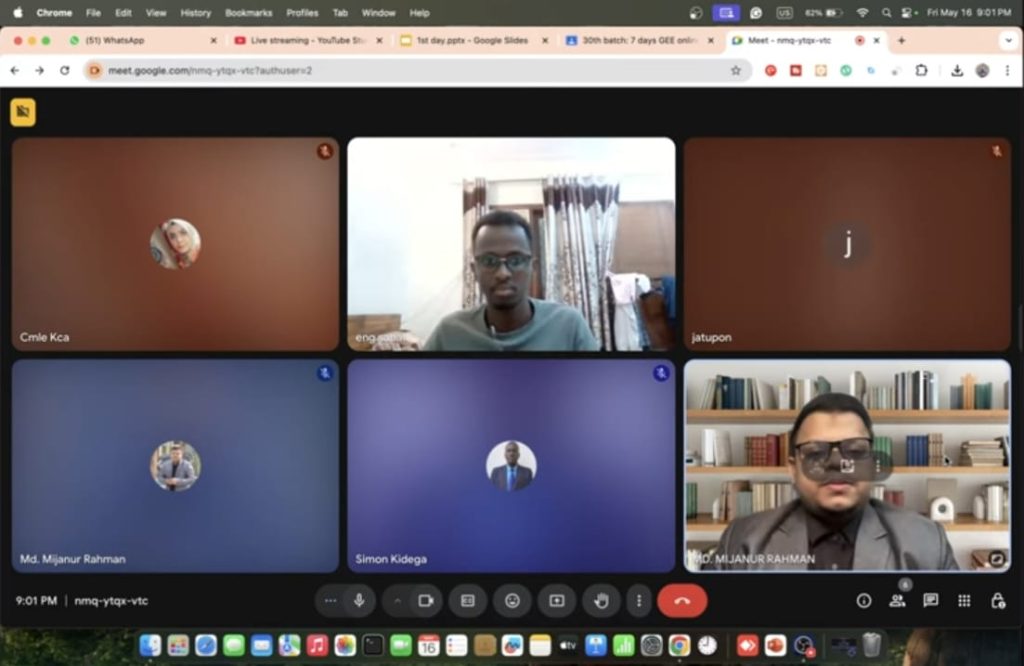
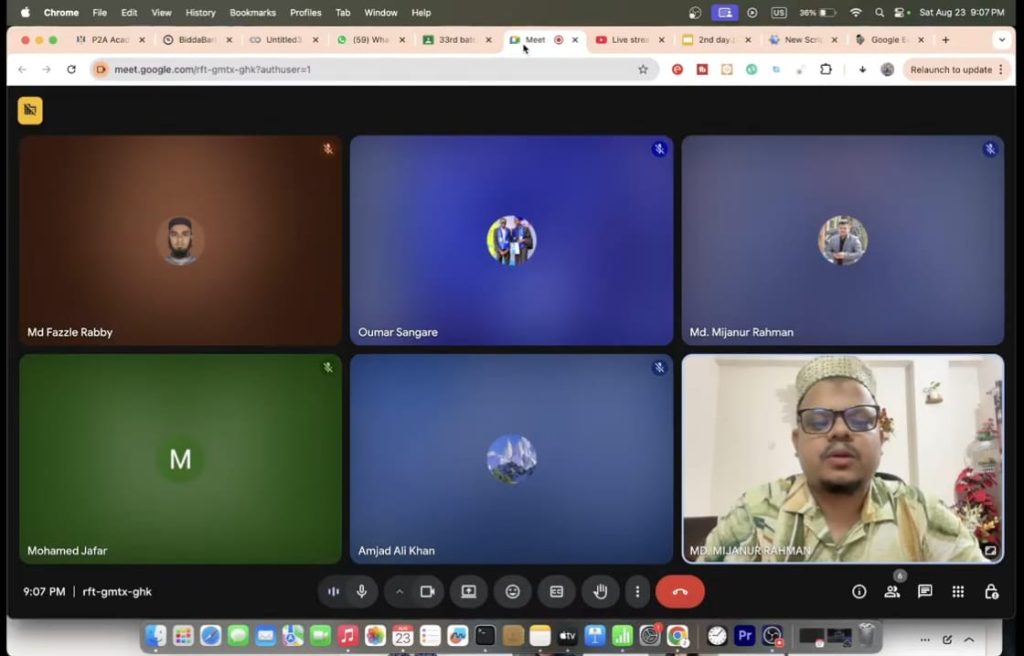
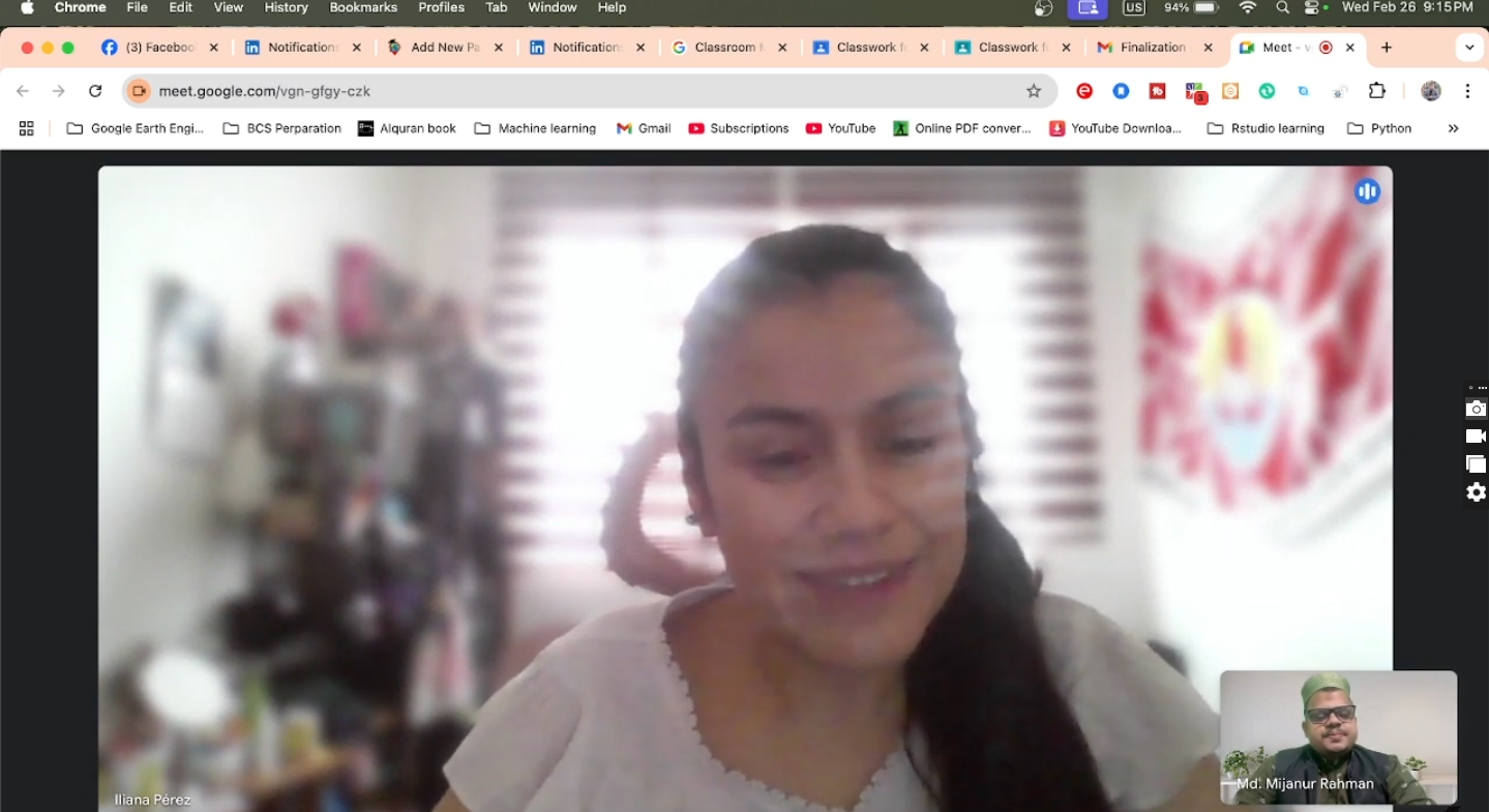
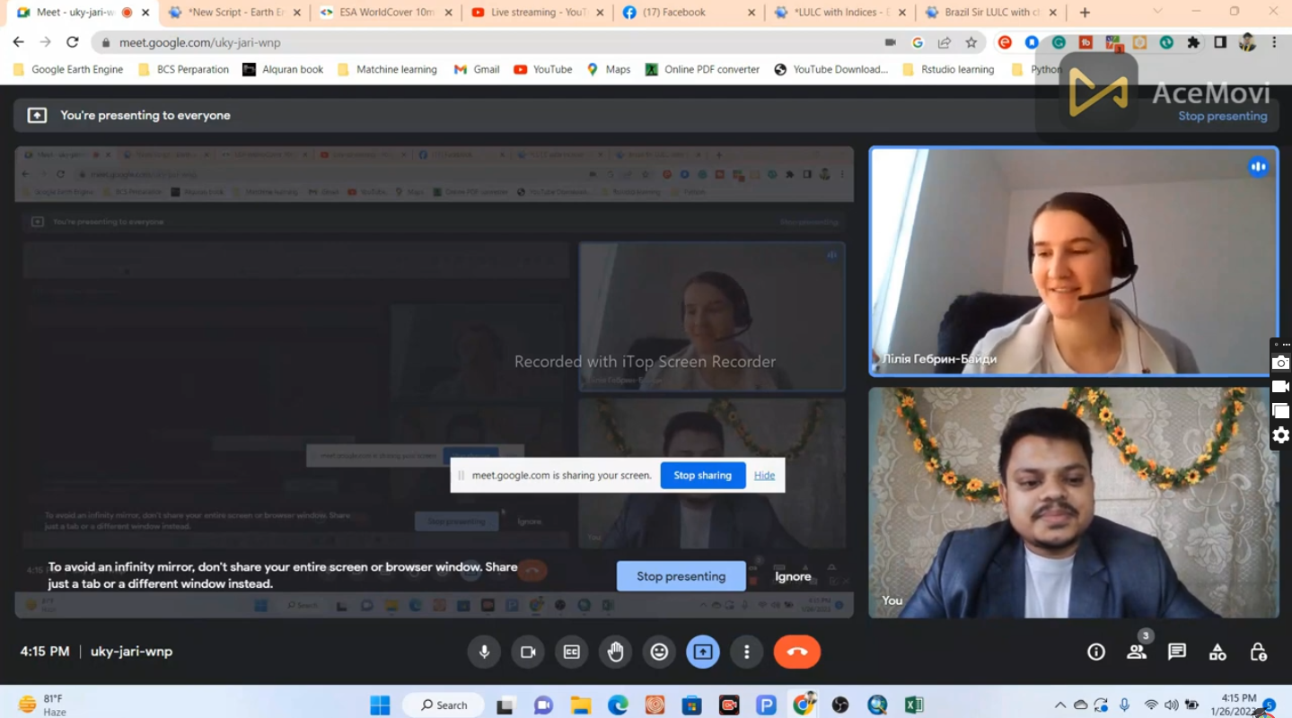
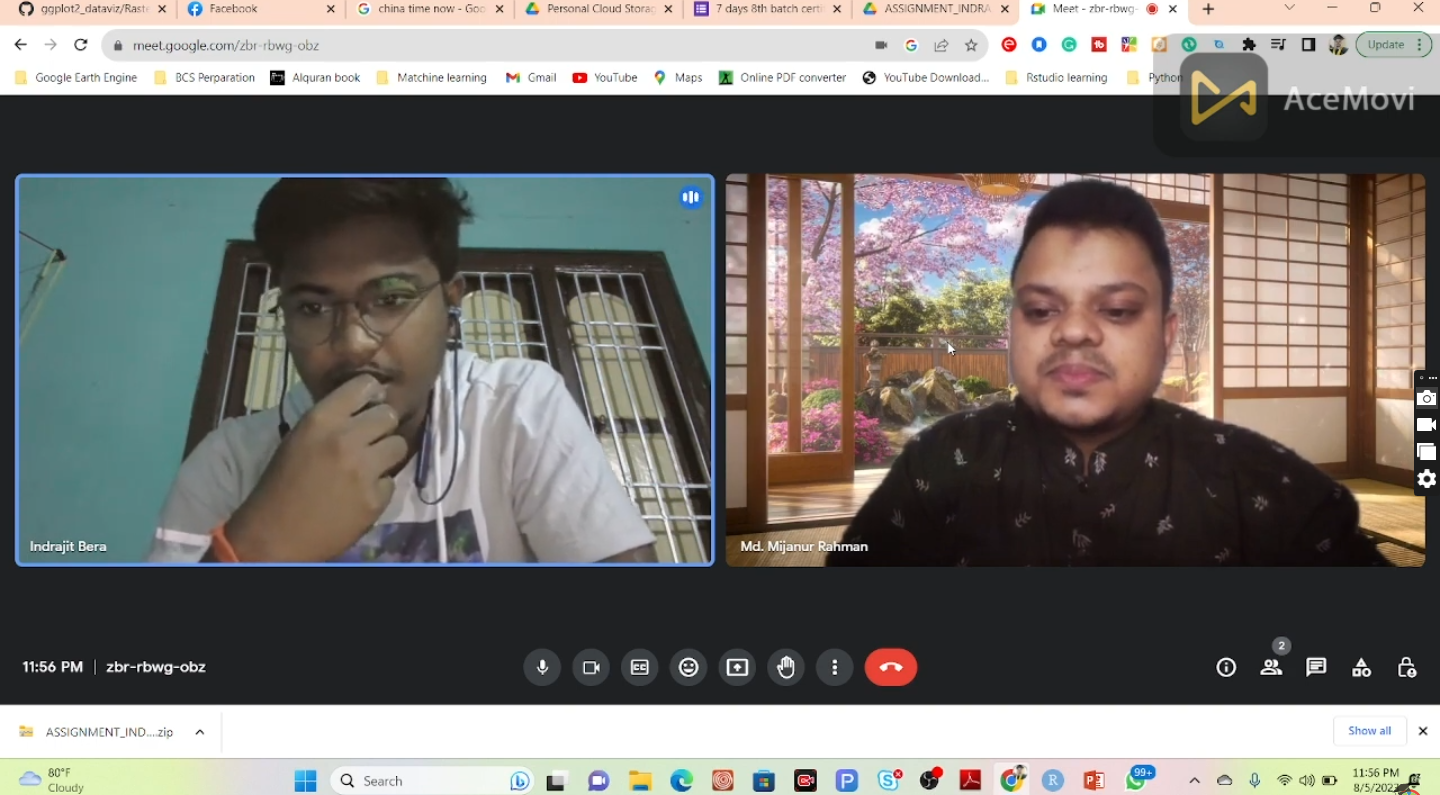
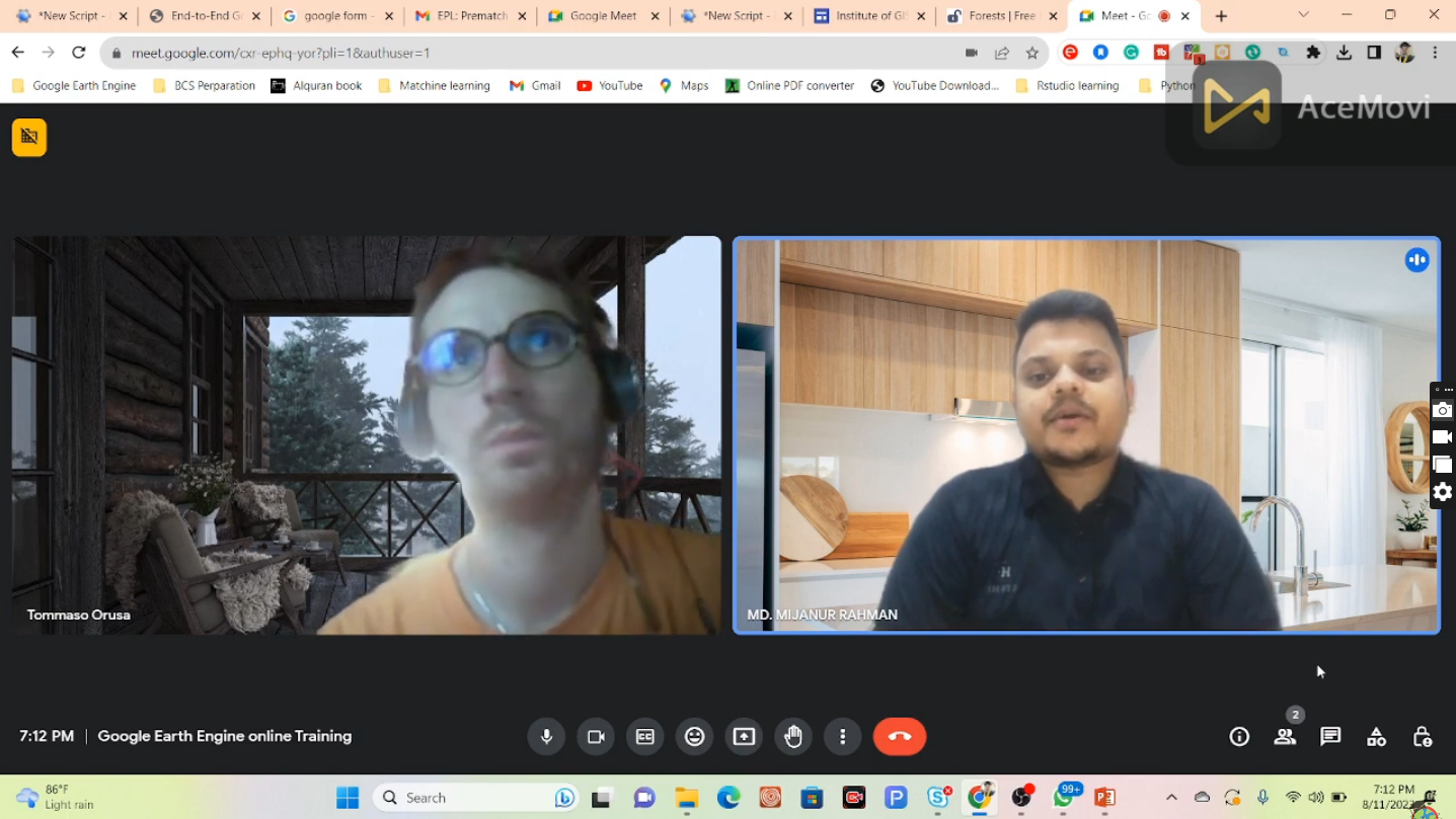
We deliver cohort-based, live instructor-led online training accessible worldwide.
Our programs have trained GIS and remote sensing professionals, data scientists, researchers, and data engineers from over 100 countries
Empowering Global Learners with Practical Geospatial Skills
Study Hacks is an open learning platform dedicated to modern geospatial technologies. Our open-source learning resources and instructor-led training programs equip learners with the practical skills required to analyze and solve complex real-world spatial problems at scale.
We deliver cohort-based, live instructor-led online training accessible worldwide. Our programs have trained GIS and remote sensing professionals, data scientists, researchers, and data engineers from over 100 countries
Let’s Discuss Your Future
Have questions about our courses? Our team is ready to support and guide you at every stage of your learning journey.
Our courses are designed for students, researchers, professionals, and anyone interested in GIS, Remote Sensing, and spatial data analysis — whether you are a beginner or have prior experience.
No. We start with fundamentals and gradually move to advanced concepts. Basic computer skills are enough to begin, and guidance is provided throughout the training.
Yes. Participants who complete the training and assignments successfully will receive a professional certificate of completion.
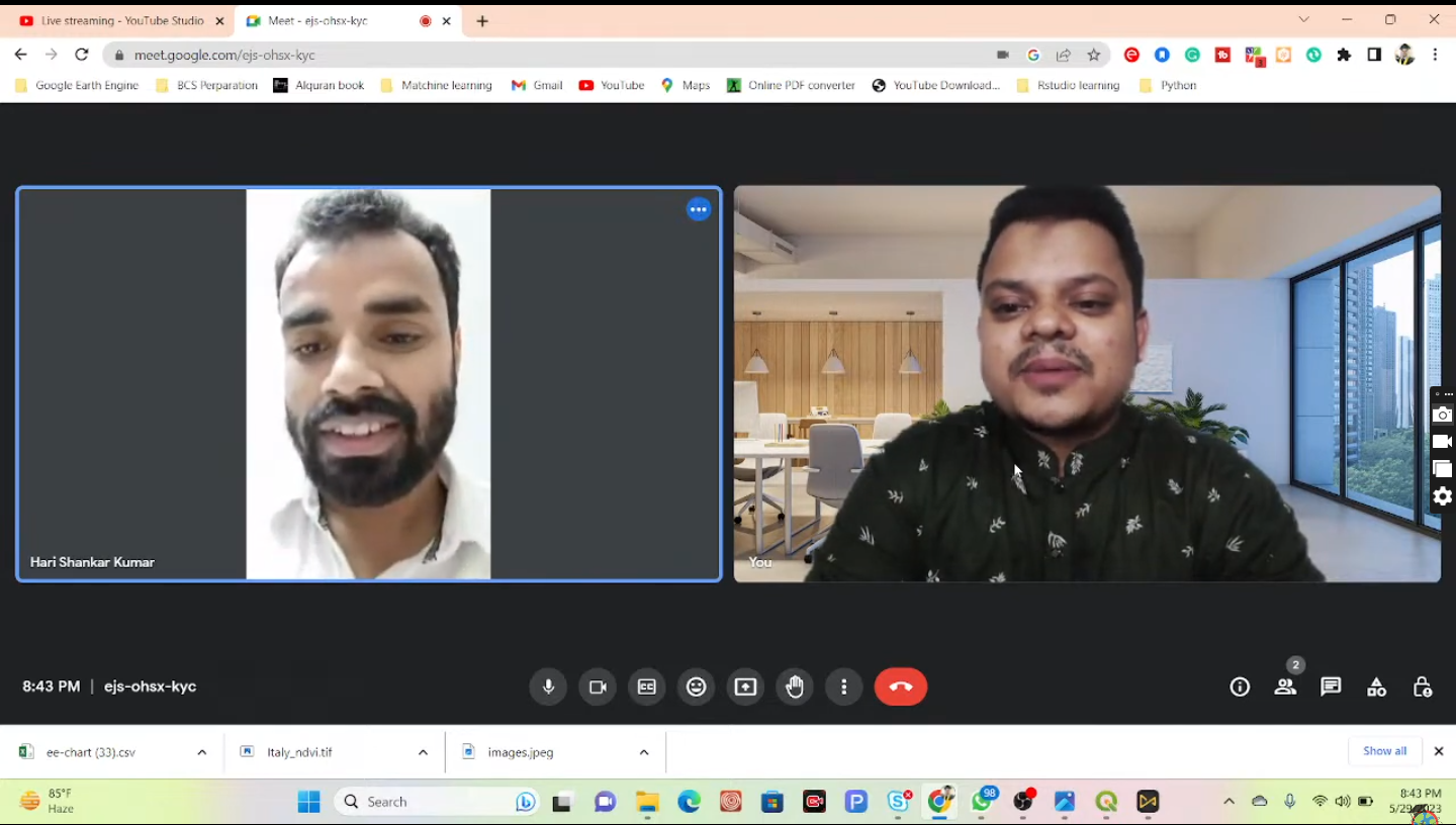
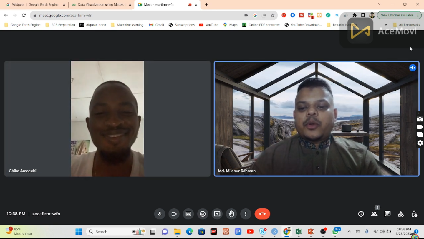
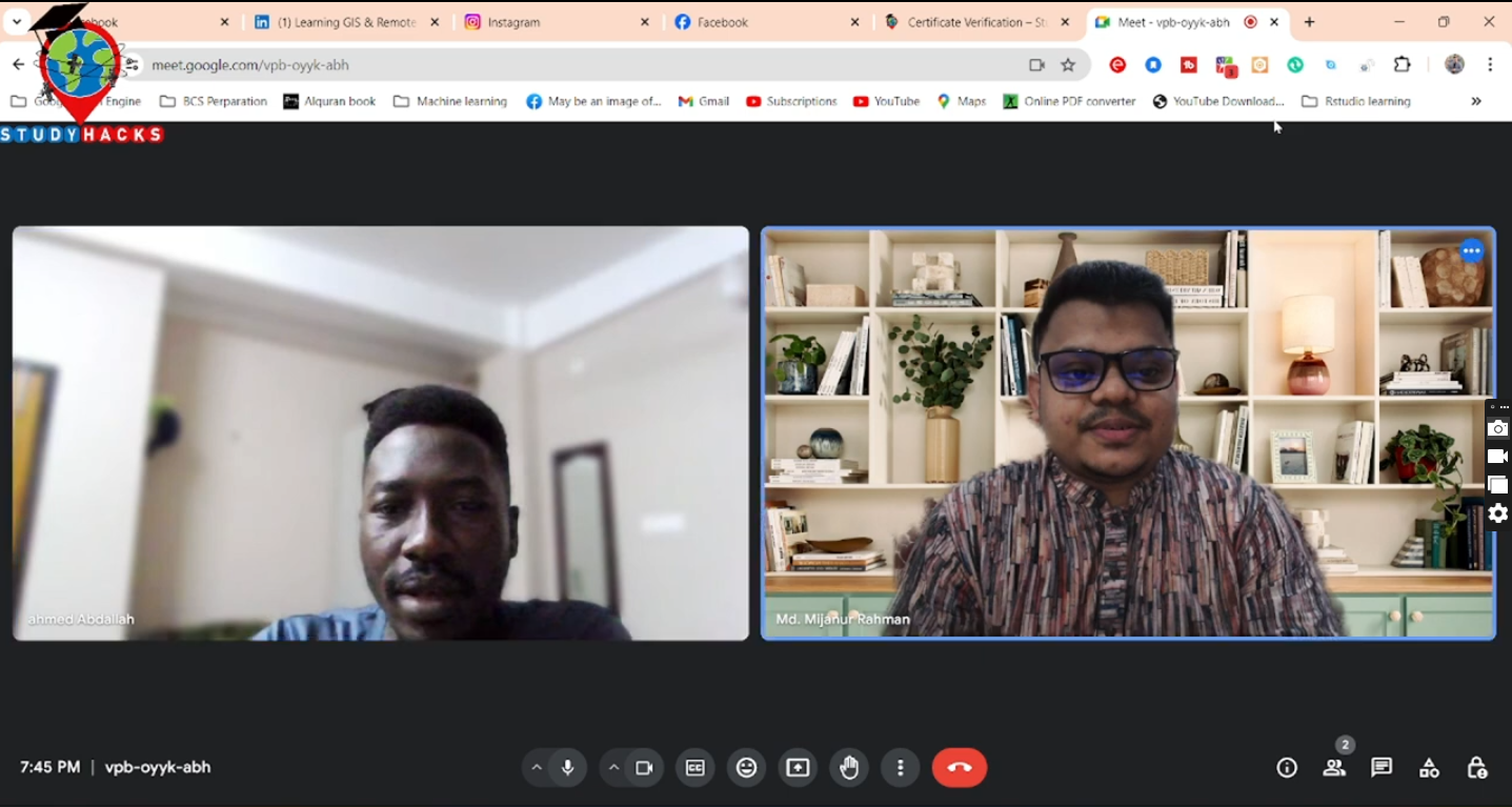
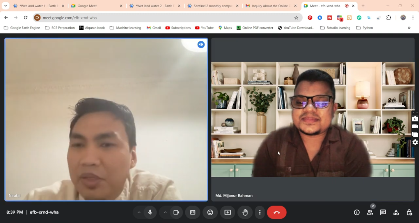
POSITIVE FEEDBACK
0k
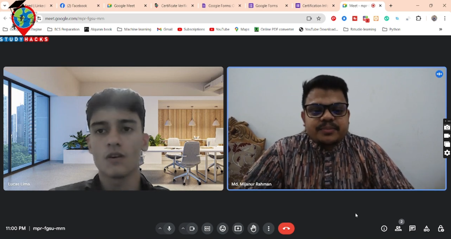
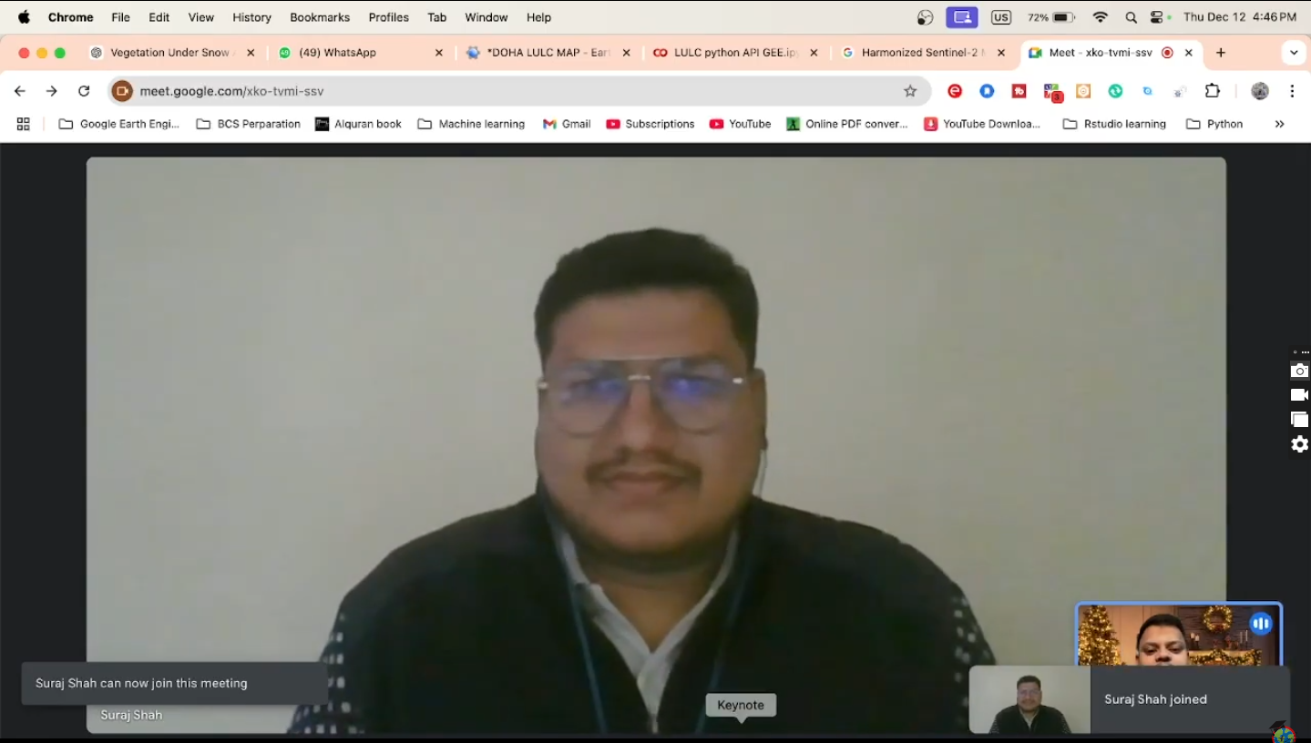
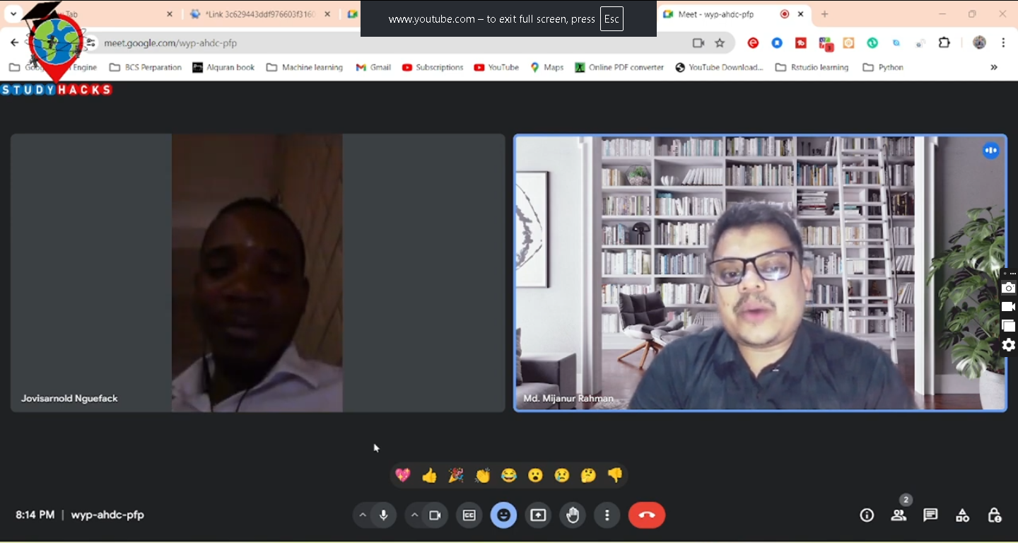
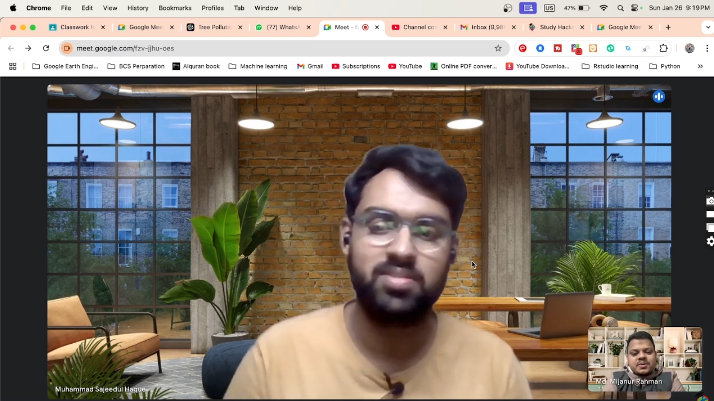
Testimonials
Our Students Say About Us
Hear directly from our learners about how this training helped them build practical geospatial skills and advance their academic and professional careers.
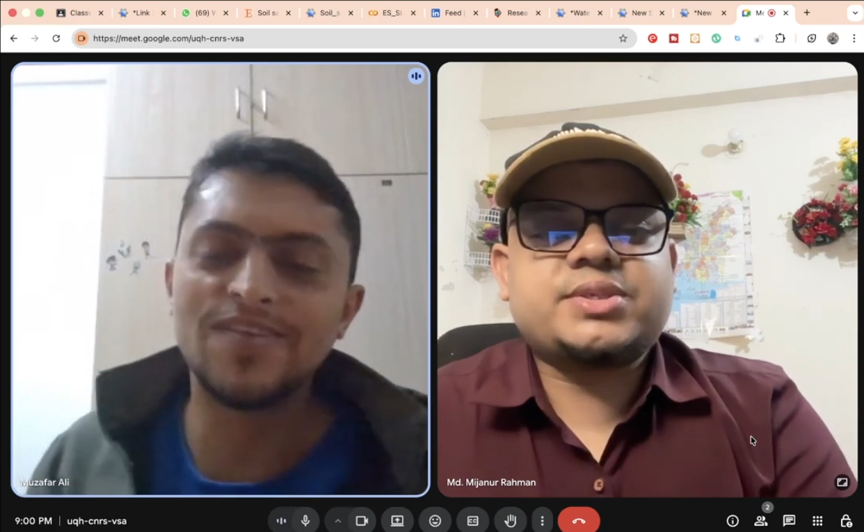
Students Reviews
15 Videos
Start Your Learning Journey Today!
Join thousands of learners worldwide and achieve your goals